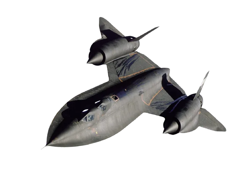
As electronic warfare evolves, the resilience of traditional satellite navigation faces increasing scrutiny. GPS, GLONASS and Galileo were designed for a world without cheap, portable jammers — and that world no longer exists. Spoofing and jamming incidents that were once confined to conflict zones are now reported daily along commercial shipping lanes, near borders, and around major airports.
Why GPS Alone Is No Longer Enough
A GNSS receiver has no way to tell the difference between a genuine satellite signal and a convincing forgery. Once a spoofed signal overpowers the real one, every system downstream — autopilot, fleet tracking, timing infrastructure — inherits the error silently. There is rarely a warning light for a wrong answer that looks correct.
This is not a hardware defect; it is a structural property of any single-source, low-power signal broadcast from orbit. Redundancy has to come from somewhere else.
“The question is no longer whether a platform will encounter GNSS interference, but how gracefully it degrades when it does.”
Building Resilience Beyond GNSS
STELION’s sensor family — SGS for geolocation, SHS for heading, and SNS for full navigation — was built around a different assumption: that satellite navigation is one input among several, not the only one. By combining celestial reference measurements with inertial and magnetic data, a platform can continue to navigate accurately through a jammed or spoofed corridor, and cross-check GNSS data instead of blindly trusting it.
For maritime, aerospace and defense operators, that difference is the gap between a controlled contingency and an unplanned one.