STELION Navigation
Autonomous, high-precision navigation support and orientation measurements during day and night operations — fully complementary to GNSS/GPS.
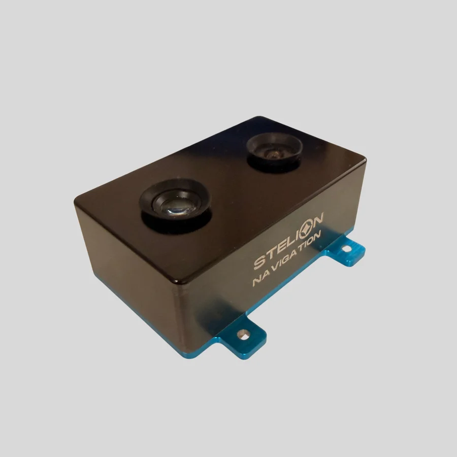
STELION Geolocation (STELION-SGS)
STELION-NAVIGATION is a cutting-edge optical sensor designed for autonomous, high-precision navigation support and orientation measurements during both day and night operations. Fully complimentary to GNSS/GPS, it enhances navigation accuracy by providing reliable heading and geolocation information that supports and improves conventional satellite-based positioning.
Its plug-and-play architecture enables rapid deployment and seamless integration into existing platforms, while its rugged design ensures resilience against electromagnetic interference and extreme environmental conditions. For defence clients, STELION-SNS offers key operational advantages: it provides precise and continuous heading information, delivers geo-position to support autonomous navigation, and maintains reliable performance in challenging operational conditions.
Features
- Operation
- Day & Night Time
- Accuracy
- 0.1º (heading)
4-5 km (daytime geolocation)
1-2 km (nighttime geolocation) - Field of view
- 170º Day / 40º Night
- Type of camera
- CMOS sensor
- Acquisition Time
- Up to 4Hz
- Albedo / Straylight
- Immune
- Envelope volume
- 47 x 78 x 24 mm
- Mounting holes
- 4 x M3
- Mass
- < 200 g — prototype units
- Power supply
- 5 VDC or 12 VDC — Under request
- Power consumption
- ≤ 3W
- Communication interfaces
- RS422 — NMEA production units
Talk to our team about integration, specifications, and deployment for your platform.